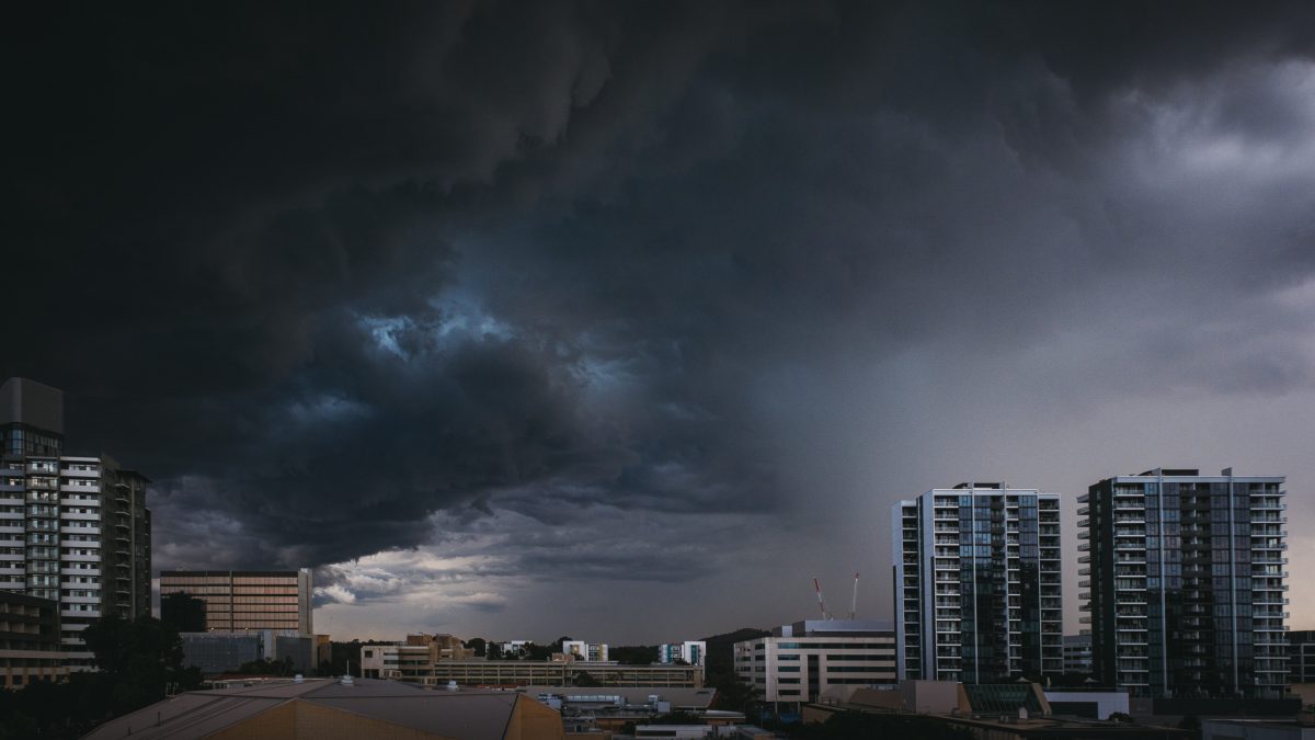
Storm clouds looming over Canberra. Photo: Richie Southerton, Rich Pixel Photography.
Canberra’s emergency services received nearly 100 calls for help over the weekend as a string of severe storms lashed many parts with record-breaking amounts of rain.
The Canberra Airport weather station reported up to just 12 mm of rain on Saturday (11 January) and 4.2 mm on Sunday (12 January), but that was light compared with some areas.
The weather station on Mount Ginini on the ACT’s western border broke the record for rainfall received over a 24-hour window in January, with 72.2 mm on Sunday. The previous record stood at 57 mm in January 2022.
And on the same day, Charnwood in the ACT’s far north received 54.8 mm – the highest figure for a January since 2015.
Small hail was also reported around the inner north and Gungahlin.
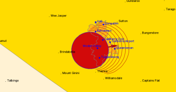
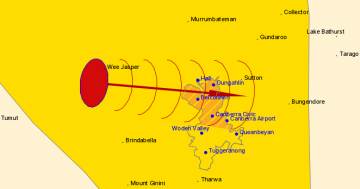
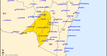
The ACT State Emergency Service (ACT SES) issued a string of “severe storm” warnings over the weekend due to a “moist and unstable airmass” moving across the ACT.
The SES received seven calls for help on Friday, followed by 50 on Saturday and 37 on Sunday.
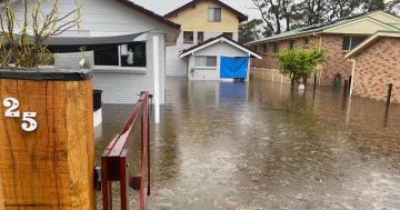
Most related to leaking roofs and localised flooding, and mainly in the Weston Creek area including Rivett, Chapman, Duffy and Holder.
The Bureau of Meteorology (BOM) says the storms have been caused by a humid breeze coming down from the northeast.
“We’ve got a high-pressure system sitting close to New Zealand, and then an inland trough in NSW, and it’s pretty much feeding into the moisture from the north coming down,” BOM community information officer Morgan Pumpa told Region.
“And then on the weekend, another trough moved over Victoria and that’s what brought the high amount of rainfall in a short burst for the Australian Open in Melbourne.”
The BOM warns the thunderstorm activity – and the hot, sticky weather – isn’t over yet.

State Emergency Services (SES) volunteers attending a flooded garage.
Canberra has received another 17.2 mm over the past 24 hours, and storms are possible for Tuesday, Wednesday and Thursday.
There’s a 40 per cent chance of up to 3 mm of rain on Tuesday and Thursday, rising to 80 per cent and 15 mm on Wednesday. Wednesday will also be the warmest day, with a maximum temperature of 33 degrees Celsius.
“We’ve got another active day today, and with that the chance of thunderstorms pretty much across the ACT,” Ms Pumpa said.
“Not only heavy rainfall that could lead to flash flooding, falling on those already wet soils from the weekend, but we could also see damaging winds and again, with the soil loose, we could see some trees coming down.”
She also warned of the possibility of large hail.
And if you’re heading towards the South Coast on Tuesday, expect to see “heavy rainfall” between the ACT and the coastline.
Finer weather is only expected to return from Friday, when a wave of cooler, drier air arrives from the south.
“That’s going to be a lot more settled, hopefully bring a little bit more blue sky, and also temperatures closer to average,” Ms Pumpa said.
Maximum daytime temperatures are not expected to exceed 25C on Friday, and 22C on Saturday and Sunday, with minimums of 10C.
The ACT Emergency Services Agency says it’s ready for an increase in storm and rain activity “throughout the warmer months”.
Phone the ACT State Emergency Service on 132 500 for support during storms and floods. Check the BOM website for weather updates and warnings.


