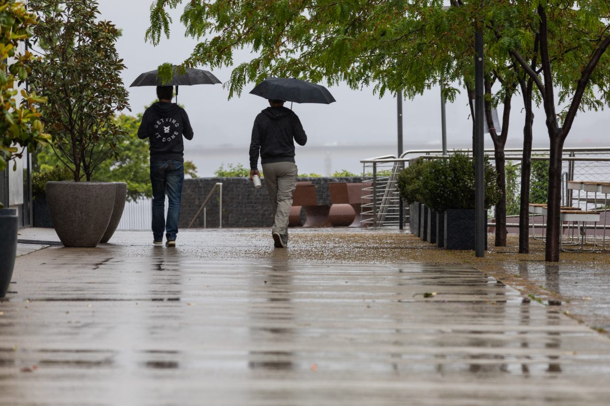
Cold, wet and windy – that’s what the radar has in store for us over Tuesday and Wednesday, with snow possible for some parts. Photo: Michelle Kroll.
A huge pool of Antarctic air has descended across Canberra and southeast NSW overnight, making us feel like we’re gripped by a bitter winter’s day.
It’s due, in part, to the Southern Annular Mode (SAM), which was currently negative, meaning high-pressure systems were looping across the country higher than normal.
Weatherzone meteorologist James Rout said the high-pressure systems usually blocked the more frigid cold fronts, but not this time.
“We do get cold bursts during spring because it’s a very dynamic season, so it’s not uncommon,” he said.
“But this is a bit later in spring than we might normally see it, so we have a low-pressure system then a high-pressure system behind it forcing the cold air up.”
A powerful and meandering jet stream will pass over Australia during the next 48 hours, producing a dangerous mix of damaging winds, heavy rain, severe thunderstorms, hail and snow in multiple states. pic.twitter.com/YOnJlLIU0N
— Ben Domensino (@Ben_Domensino) October 30, 2022
Temperatures across the state were predicted to be up to 10 degrees below average for this time of year, including across southeast NSW.
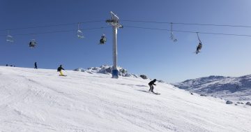
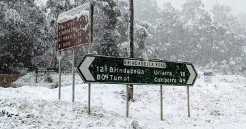
With so much cold air around, heavy snow was likely on the mountains above 1000 metres today (1 November) and 800 metres tomorrow.
The Bureau of Meteorology said the cold temperatures, widespread showers and Alpine snow until mid-next week were all “unseasonable for November”.
While the snow may not reach the suburbs of Canberra and surrounds, we’ll still be feeling the impacts thanks to the winds.
“The wind chill could make it feel as much as 5 degrees below what’s predicted on Tuesday and 6 degrees colder on Wednesday,” Mr Rout said.
“These are like winter temperatures … it’s going to feel quite a bit colder.”
Temperatures were predicted to drop to 3 degrees on Wednesday (2 November) night before a top of 13 degrees in Canberra. A low of 4 degrees was predicted for both Thursday and Friday nights before things started to warm up again on Friday.
Overnight temps will also be in the single digits for the South Coast, Southern Tablelands, Snowy Mountains and South West Slopes districts until the end of the working week.
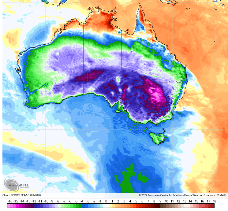
Temperature anomalies (how far above or below the average maximum temperature) for Tuesday, 1 November. Photo: Weatherzone.
More flooding rains and storms were also part of this system moving across NSW and the ACT.
NSW State Emergency Services chief superintendent Ken Murphy said while the rain was expected to be moderate, communities still needed to monitor the situation as it could change rapidly
“With eight rivers currently at major level across the state, the forecast rain will exacerbate river conditions in locations already affected by major flooding, particularly across southern and western NSW, he said.
“Isolated storms can create dangerous conditions, including falling trees and flash flooding, so we encourage people to repair roofs, tie down loose items and park vehicles away from trees now to reduce your risk.”
He also urged motorists to be careful on the roads.
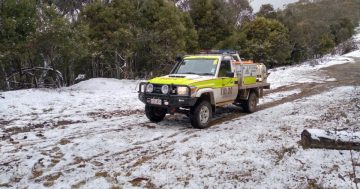
“Snowfall can result in slippery and hazardous driving conditions. Members of the public are urged to slow down and drive to the conditions,” Chief Superintendent Murphy said.
The system was also impacting other states, with temperatures forecast to reach just 14 degrees in Melbourne today. This could make it the coldest Cup Day since 1995.