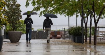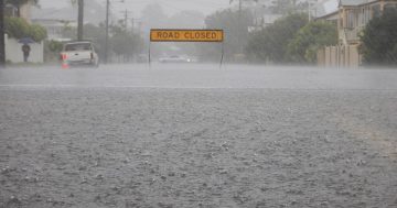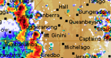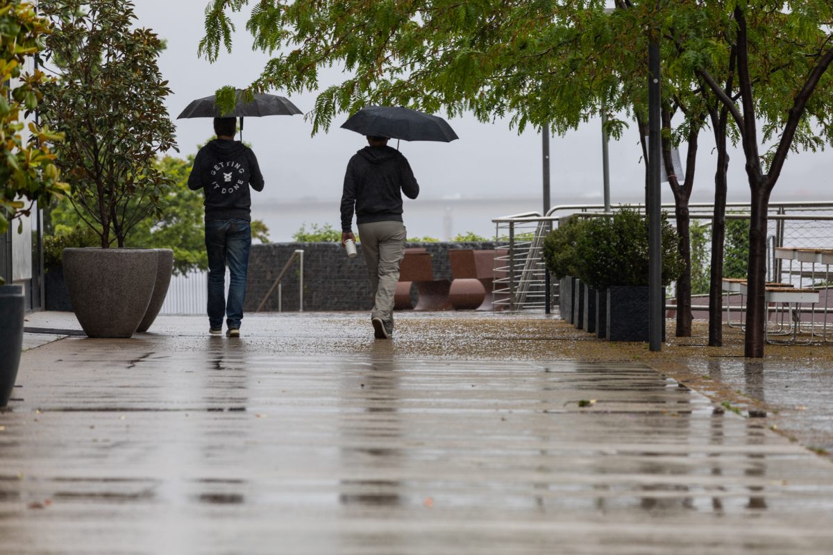
Keep the umbrellas close with heavy rain predicted for the South Coast this weekend. Photo: Michelle Kroll.
Those of us heading off for the school holidays have been warned to keep an eye on the radar with heavy rain expected this weekend.
Predictions suggest the South Coast could be particularly impacted, with some models showing areas there could receive up to 100 millimetres on both Saturday and Sunday.
Bureau of Meteorology community engagement officer Morgan Pumpa said the exact amount of rain expected and where it would fall was still uncertain.
“This is because a trough that’s expected to intensify and bring that rain hasn’t actually formed yet,” she said.
“Indications at the moment show we could see heavy rain over consecutive days of more than 100 millimetres over the weekend.”
The Batemans Bay area was tipped to see the most rainfall on Saturday (2 July) but the chance of more falls continued into mid-next week.
Ms Pumpa said while the rain would predominately be along the coast, some falls in the ranges could also be expected.
“The adjacent ranges such as Bega could see some lighter rainfall, and then north of there have the chance for heavier rainfall,” she said.
“This means landslips as possible as well, particularly in the Illawarra region, but anyone driving needs to make sure they keep an eye on the conditions and the forecast.”
River rises and flooding were both also possible, along with hazardous surf and increasing winds on the coast.
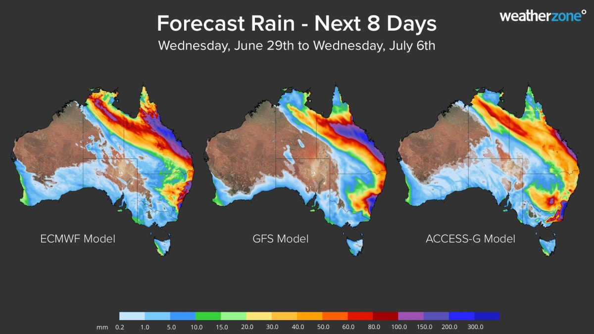
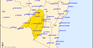
Forecast of accumulated rain expected in the next eight days from three different models. Photo: Weatherzone.
Forecast modelling from Weatherzone also suggested extremely heavy falls for the South Coast over the weekend, and possibly even into next week.
Meteorologist Ben Domensino said if the trough developed into a Tasman Low, its location and strength became more difficult to determine from Monday.
“Most forecast models suggest that rain will continue to affect some eastern parts of NSW and QLD on Tuesday and Wednesday,” he said.
“Looking at the next eight days as a whole, widespread rain is expected to affect a large area of eastern Australia from about Cooktown to Batemans Bay.
“Accumulated rainfall totals of 100 to 2o0 millimetres are likely in some parts of this region, with isolated falls above 300 millimetres possible. This rainfall is likely to cause flooding in some areas, most likely in central QLD and southern NSW.”
Both communities in eastern NSW and those travelling to those regions for the school holidays have been advised to keep up to date with weather warnings, particularly from Saturday onwards.


