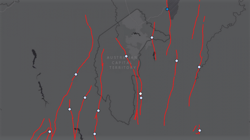
Several fault lines run under the ACT and surrounding region. Image: Geoscience Australia.
The ACT was shaken by a recent earthquake in Victoria – but is the capital region safe from similar quakes, given it sits on several known fault lines?
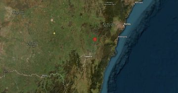
Locals in Canberra and the surrounds felt the impact of a 5.8 magnitude earthquake over 300 kilometres away in regional Victoria in September.
The quake was the largest recorded in that state since European settlement.
A handful of fault lines run under the ACT and region – but it’s ones we don’t know about that experts say are a greater risk for earthquakes.
Geoscience Australia Senior Seismologist Dr Trevor Allen says earthquakes don’t only happen on identified geological faults.
“There are likely to be faults and fractures throughout the rocks within the ACT,” he says.
“We know of some of the larger ones, but it is entirely possible that a moderate to large magnitude earthquake could occur on something we don’t know about.”
Dr Allen says there are three main known fault lines in the ACT region.
The most significant is the Lake George Fault, just east of Canberra.
“That is actually a very large fault, around about 80 km in length,” he says.
“[It] stretches from roughly just west of Goulburn down to south of Queanbeyan.”
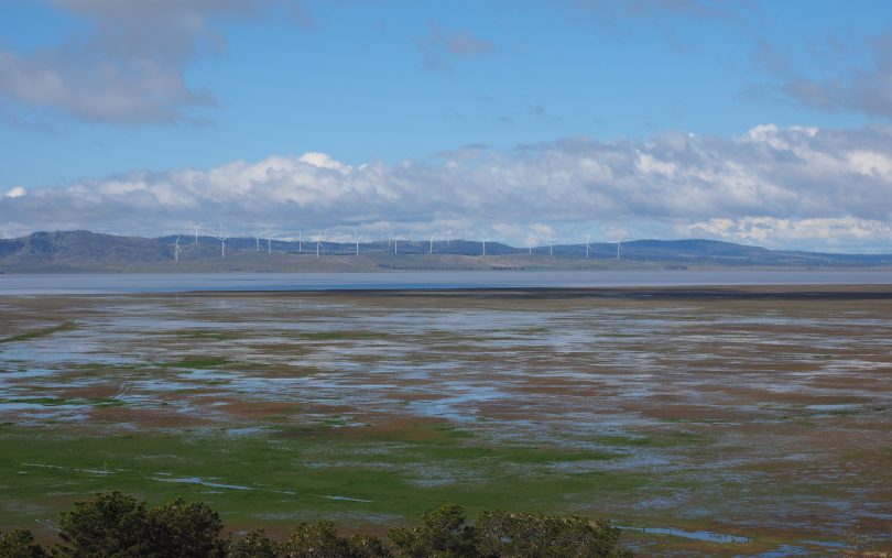
The Lake George Fault is the largest known in the ACT region. Photo: Nick-D.
The smaller Queanbeyan Fault runs just east of the NSW town, passing through Kowen in the eastern part of ACT and up to Wamboin.
The Murrumbidgee Fault sits just west of Canberra, less than 5 km from the Tuggeranong Town Centre.
“That is potentially even more active than the Lake George Fault,” Dr Allen says.
However, when you’re a seismologist, major fault activity can be measured in a time scale of hundreds, thousands, if not millions of years.
“Large earthquakes on these faults are incredibly rare,” he says.
“We don’t think that the Lake George Fault’s hosted a large [7.0 magnitude] earthquake in quite a while, maybe a million years or so.”
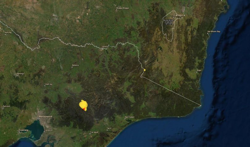
Aftershocks continue from last month’s earthquake in Victoria. Photo: Geoscience Australia.
While those major faults are unlikely to rock the capital any time soon, they’re possibly not the only ones we need to worry about.
“While we do know that there are these large faults in the area that are capable of generating potentially magnitude 7.0 earthquakes, earthquakes that are potentially damaging to Canberra and buildings around Canberra are probably more likely to occur on faults that we don’t know about yet.
“They are likely to be earthquakes that occur in unanticipated regions.”
But that doesn’t mean we need to run or duck and cover just yet.
It just means if a quake similar to the recent Victorian one does happen, it will more likely come from a previously unknown fault than one we already know about.
“In terms of potentially what’s likely within the ACT, we would probably see an earthquake of that [5.8] magnitude maybe every few hundred to few thousand years,” Dr Allen says.
“They’re probably not as rare as those large Lake George magnitude 7.0 earthquakes which could be every few hundred thousand years, but still they are a relatively rare occurrence – much longer than our lifetimes.”
Generally, tremors under 2.5 magnitude go unnoticed by the public, unless you are very close to its epicentre.
Magnitude, however, is a logarithmic scale, and Dr Allen says and the effects and distances they’re felt at grow rapidly.
“Which means every one magnitude unit you increase, you’re actually increasing the ground-shaking intensity by a factor of 10,” he says
“For example, if you’re going from a magnitude 3.0 to a magnitude 5.0 earthquake, that’s 100 times stronger ground shaking.”
Researchers from Geoscience Australia and the Australian National University have been studying the Lake George Fault.
They’ve found gravel in the lake bed that matches samples on much higher ground just to the west.
“The escarpment that forms the lake has been uplifted by around 250 metres in the last four million years,” Dr Allen says.
“It’s really just taking a bit of a rest at the moment.”
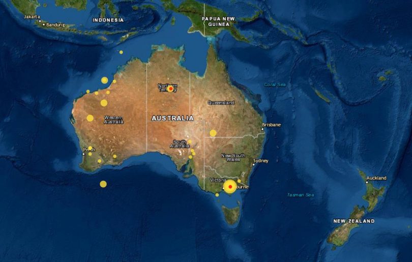
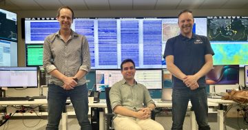
Geoscience Australia tracks around 80 earthquakes a year across Australia. Image: Geoscience Australia.
Analysts at Geoscience Australia constantly monitor earth movements across the globe.
They locate and record around 80 quakes above 3.0 magnitude in Australia every year.
“We would on average locate probably between one and three earthquakes per day.
“Most of them would be very small earthquakes … but nevertheless these earthquakes are always occurring.”
While the Victorian quake itself was rare, events that size aren’t uncommon.
“We do experience earthquakes of around that magnitude range every five to 10 years somewhere in Australia,” Dr Allen says.
“Most of those events occur in central and western Australia and they occur in much more remote areas.”
Research is continuing into the geological feature that caused the Victorian earthquake.
To find out more about recent earthquakes, visit Geoscience Australia.