[First filed: Jun 29, 2010 @ 9:30]
It only got down to -3 last night, compared to -5 the night before.
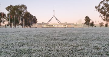
But the frost was still spectacular, puddles were iced 10mm thick and a none-too light website editor was able to walk across them. Sullivans Creek was iced over.
The Bureau has no respite in sight:
A high pressure ridge extends across NSW and the ACT maintaining cool and dry conditions across the local region. A cold front in the Bight will move through southern NSW on Wednesday, bringing a few showers, chiefly along the ranges to the west and south of the ACT. The ridge of high pressure will re-establish itself over the region for the remainder of the week with fine, cool days and cold, frosty nights forecast to continue.
Sunday morning is forecast to be merely freezing. The rest below.
It’s really OK to run your heaters in these conditions. And to find some company under the doona.
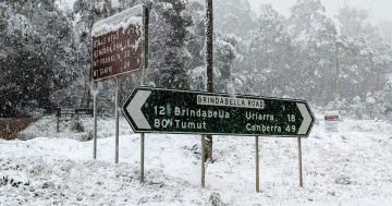
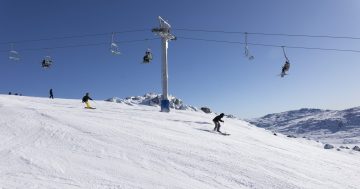
(frosty slideshow below)