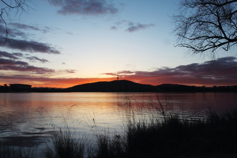
Stunning sunsets like this have been a prominent feature of the landscape in December. Photo: File.
The weather forecast for Christmas Day is typically predictable for Canberra and south-eastern NSW region, with mostly clear skies and the slight chance of a late shower, according to the best seven-day festive forecasts.
After a December of below-average temperatures, where the average maximum has been 25.1 degrees Celsius, the 25 December forecast is for the temperature to remain on par with the average, with a less than 20 per cent chance of rain.
According to Weatherzone, the Christmas Day forecast for Canberra is for morning fog patches that will clear to a mostly sunny day. Winds will be from the south-east before tending northerly later in the day.
The Bureau of Meteorology says Christmas in Canberra will partly cloudy with a 30 per cent chance of a shower, most likely later in the day.
The Bureau’s duty forecaster for ACT and NSW told Region Media they can make an accurate prediction for Christmas Day due to the dominance of a large, slow-moving high-pressure system that will keep temperatures in the region stable.
The bureau’s forecaster said the only variation in their modelling indicates the possibility of an afternoon shower or storm from a ridge of high-pressure passing through the region that could trigger a cooler easterly airflow and a possible shower or storm.
Due to the large high-pressure system, the Christmas Eve and Christmas Day forecasts are almost a carbon copy of each other.
The temperature in Canberra is expected to reach a maximum of 28 degrees, dipping to a minimum of 14 overnight. Winds will be east to south-easterly 15 to 20 km/h, turning north to north-easterly between 15 to 25 km/h during the day.
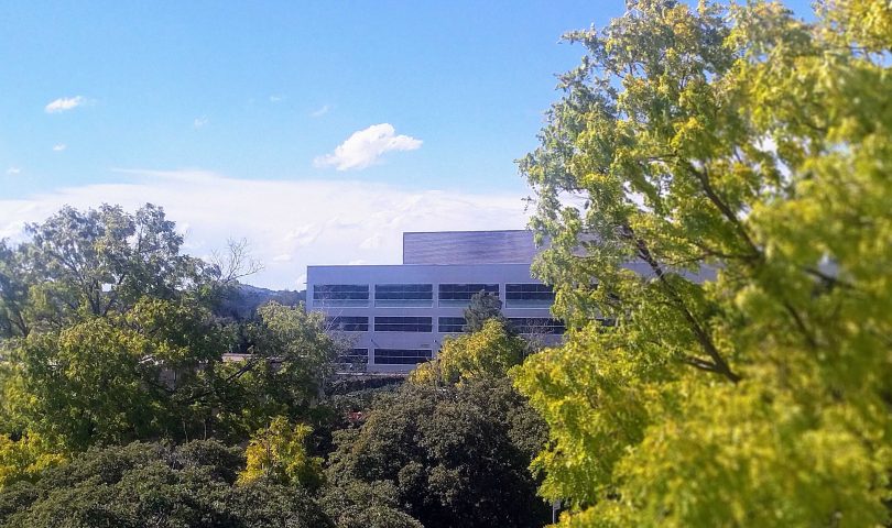
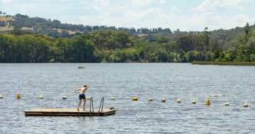
People in the region can expect a clear and partly cloudy day like this for Christmas day. Photo: Michael Weaver.
On the NSW South Coast, conditions will be slightly cooler due to the dominant easterly and north-easterly breeze, which will also keep skies clear. Only a small swell is forecast, meaning conditions are ideal for a Christmas on the coast.
West of the ACT, temperatures will also be typically predictable and one or two degrees warmer than in Canberra.
There is the usual thunderstorm activity in the tropics, however, the system that caused all the flooding rainfall in north-east NSW and south-east Queensland will have moved well out to sea by Christmas Day, leaving the eastern seaboard of Australia relatively clear next week.

Conditions on the south coast are also expected to be warm and sunny next week. This is at Dalmeny, north of Narooma.
The longer-term forecast for January to March has also been released by the Bureau of Meteorology, which shows warmer sea surface temperatures to the north of Australia are likely to persist through December and contribute to a continued wetter outlook.
Modelling also suggests the La Niña weather pattern is at or nearing its peak from January to March, with a return to neutral conditions (neither El Niño nor La Niña) by the end of autumn.
La Niña typically increases the likelihood of above-average rainfall across eastern Australia during summer.
There is a greater than 65 per cent chance that maximum temperatures will be below the long-term average for most of Australia, except for most of Tasmania, far-west WA and along the south coast of Victoria and the north-east coast of Queensland where above average maximum temperatures are more likely.
The south-east of Australia is also likely to see above-average minimum temperatures.


