Simon Corbell has announced the launch of the latest “Canberra and Queanbeyan Cycling and Walking Map”:
“Canberrans love to get out and about and enjoy all of the walking and cycling paths our city has to offer and now the latest update to the walking and cycling map will give greater certainty during journey planning and an extra helping hand along the way,” Mr Corbell said.
“An important part of updating this map was engagement with key walking and cycling groups as well as individual riders and walkers who use these paths on a daily or weekly basis.
“It is important we keep updating this resource for the community and its accuracy relies heavily on the involvement of those who regularly use the walking and cycling paths, both in the ACT and also just over the border in Queanbeyan.”
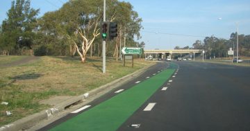
The Canberra and Queanbeyan Cycling and Walking Map shows on-road cycling lanes, shared-use paths (paths shared by a variety of users), unsealed paths, roads and free bicycle parking facilities.
The new Canberra and Queanbeyan Cycling and Walking Map has made many improvements such as showing new on-road cycle lanes around the airport, new trunks paths and new suburbs.
You can get a large pdf of the map online
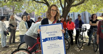
[Photo Courtesy Minister Corbell’s office]