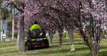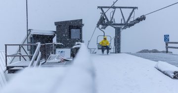
The Canberra region is set for more wet weather during spring. Photo: Michelle Kroll.
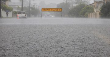
The ACT region recorded its wettest winter in four years, and the Bureau of Meteorology (BOM) is predicting there’s much more rain to come during spring.
Despite the Antarctic blast that blanketed southern NSW with snow last weekend (22-23 August), temperatures during winter were mild compared to previous years, according to BOM’s preliminary winter summary.
Winter 2020 was one of the warmest in Canberra in the past 10 years, while temperatures were also above average along the NSW coast. However, temperatures were closer to average in the Southern Tablelands and Snowy Mountains.
BOM’s manager of climate operations, Dr Andrew Watkins, said the winter season started out very dry but NSW and the ACT were hit with a late deluge of rain. The temperature in Canberra dipped as low as minus four degrees on 6 August at Canberra Airport, and as high as 17.1 degrees on 20 June.
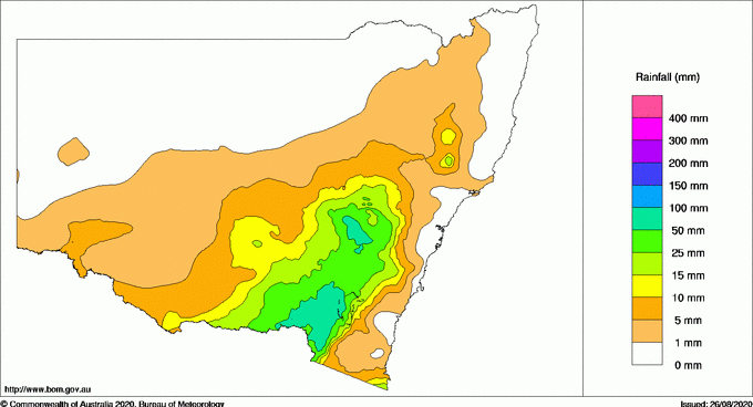
Rainfall in NSW for the week ending 25 August. Image: Bureau of Meteorology.
Mount Ginini, in the Brindabella Ranges to the west of Canberra, had the highest rainfall total of 121mm for the week ending 25 August.
“Overall, winter was drier than average for every state except NSW,” said Dr Watkins. “It was particularly wet in Gippsland, in Victoria, and the NSW South Coast.
“Earlier in the winter period, conditions were drier than normal as rain-bearing weather systems were blocked by a belt of high-pressure systems sitting across the country.”
The outlook for spring in the ACT and NSW is for temperatures to be warmer than the average of 16-20 degrees Celsius during September and October. There will also be 80 per cent chance of rainfall in both areas being above average.
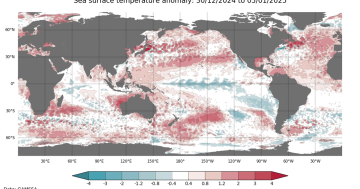
Dr Watkins said the outlook is largely driven by changes in sea surface temperatures in the tropical Pacific Ocean and Indian Ocean. He said outlook models during spring are also more reliable.
“Most long-range forecasts analysed by the bureau, including from our own climate model, are indicating a La Niña could develop in the spring, which typically results in above-average winter-spring rainfall for Australia, particularly across eastern, central and northern regions,” he said.
“A La Niña also typically brings cooler and cloudier days, more tropical cyclones, and an earlier onset of the first rains of the northern wet season.
“At this time of year, we start to see some of our main climate drivers locking in, which gives more certainty about what our weather patterns will be like in the coming months.
“We’re starting to see that in the Pacific with a La Niña beginning to take shape, and we are also seeing some changes in the Indian Ocean, which may also boost the chance of rain during spring.”
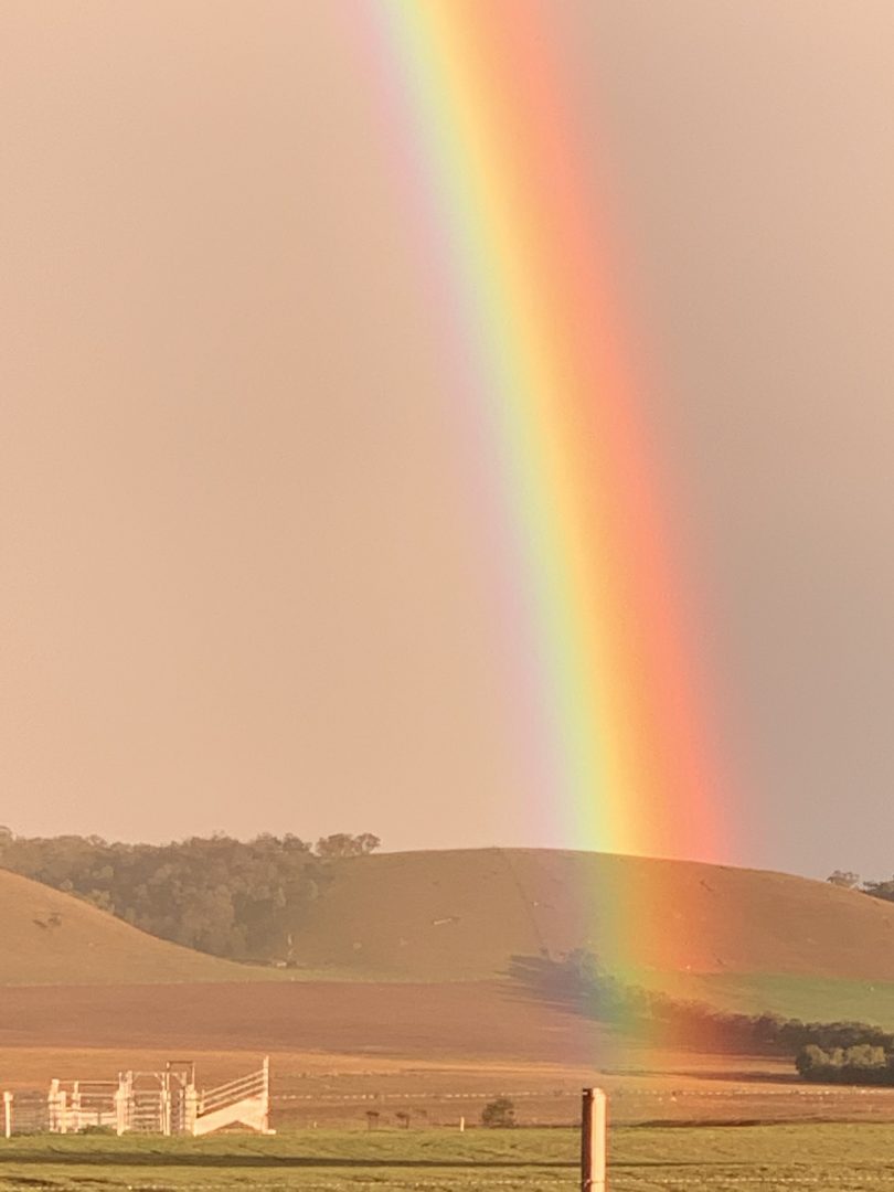
A rainbow above paddocks near Braidwood on 13 July. Photo: Kim Treasure.
Soil moisture levels had also significantly increased, while inflows to dams continue to also increase.
Dr Watkins said soil moisture to a depth of one metre is above average on the NSW South Coast, and average in areas inland. Moisture in areas south of Cooma are still below average.
He said the outlook for the rest of Australia was similar for that of NSW and the ACT, with above-average rainfall for most of eastern Australia along with warmer conditions and above-average temperatures.
During August, Sydney’s main source of water at Warragamba Dam reached 100 per cent capacity.


