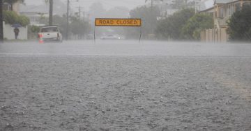
Snow in the high peaks in Canberra is likely over the next few days. Photo: Michael Weaver.
Canberra is in the grip of a chilly return to winter after several weeks of warm, sunny, still days. Flowers are blooming, birds are singing and now – this! What happened to our Spring?
According to longtime Canberra meteorologist Dr Clem Davis, we can blame Sydney for that, among one or two other things. More precisely, it’s an East Coast Low that’s also affecting us.
Clem spent 33 years with the Bureau of Meteorology and is now an honorary lecturer at the ANU’s Fenner School, researching climate and climate change in local and regional Australia. He says these systems can wreak slow-moving havoc as they get stuck over the coast.
The low can quickly develop strong winds and drag in moisture that forms heavy rain. That’s happening now as the system hovers over Sydney and the South Coast.
The low pulls cold air up from the south and south-west, forming the weather pattern we’re now experiencing in the ACT and surrounding regions.
“They’re also called cut-off low systems because the cold front is cradled by surrounding high-pressure systems,” Clem explains.

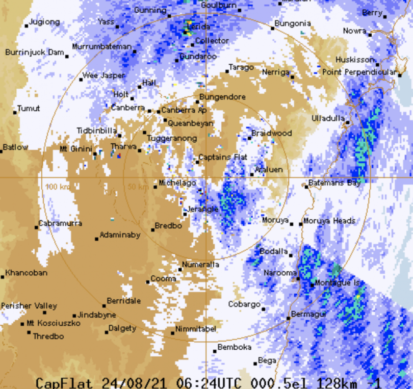
The BoM radar for the South East shows enduring rain patterns. Image: Bureau of Meteorology.
Because the low is slow-moving, it blocks the continental high-pressure system from flowing through, but this will end as the low begins to move into the Tasman and break up.
That will take several days, however, and temperatures for the rest of this week will hover in the low teens before climbing again by Monday.
East Coast Lows form along the coast as far south as Hobart and are responsible for all kinds of mayhem. An East Coast Low caused spectacular beach erosion at Wamberal on the Central Coast in 2020, and the weather system was also responsible for the Sydney to Hobart yacht race disaster of 1998.
But, Clem says, it’s been close to what we might still call a “normal” winter so far in Canberra, and Spring doesn’t officially begin until September.
“Climate change means it is a fact that winter temperatures are rising in Canberra, and we’re also seeing a later start to winter,” Clem says. “May is often warmer for longer.”
The average temperature for July in Canberra is 11.2 degrees and the average minimum -0.1, taken from figures collected between 1961 and 1990. This year, the average temperature was 11.9 and the average minimum 1 degree.
The heavy rainfall we’ve experienced this winter has also brought temperatures up by comparison with drier years where hard frosts are more common.
June was a particularly wet month with 115.8 mm of rain, although May was closer to the long term average with 47.8 mm.
Clem has been researching climate and climate change in regional Australia and says that a broadscale pattern change is evident, although that will vary from year to year.


