The Bureau of Meteorology is giving notice of foul weather:
A complex low pressure system with centres over Victoria and Bass Strait is deepening and moving slowly southeast, directing a vigorous northwest to southwesterly airstream over New South Wales. Conditions are expected to ease later Saturday as the low moves away from the region.
Winds averaging over 65 km/h with peak gusts around 100 km/h are forecast for parts of the Illawarra, Southern Tablelands, Snowy Mountains forecast districts and higher parts of the Australian Capital Territory Friday evening and early Saturday morning.
Very strong winds are also expected about parts of the Central Tablelands, South Coast and South West Slopes districts, although current information suggests these areas are not likely to reach the warning threshold.
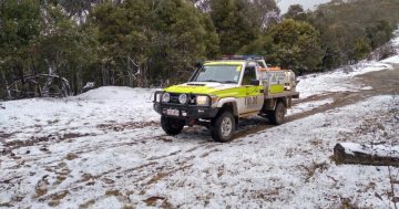
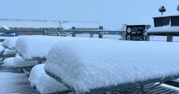
Blizzard conditions are forecast for parts of the Snowy Mountains forecast district and Australian Capital Territory above about 1000 metres Friday evening and early Saturday morning.
Thredbo top station has reported wind gusts of 100 km/h this morning.
The State Emergency Service advises that people should:
Move vehicles under cover or away from trees.
Secure or put away loose items around your house, yard and balcony.
Keep clear of fallen power lines.
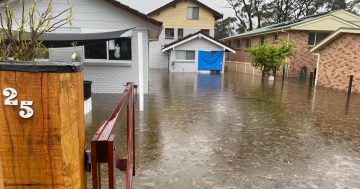
For emergency help in floods and storms, ring your local SES Unit on 132 500.
If you get a striking photo of the unpleasantness send it in to images@the-riotact.com .