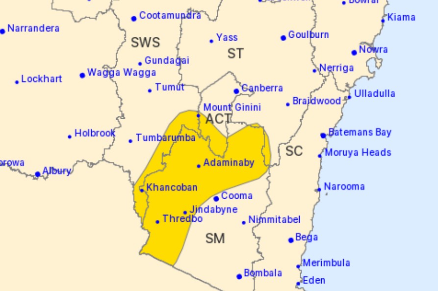
Damaging wind warning region for Thursday, 18 August. Photo: Bureau of Meteorology.
Vigorous north to north-westerly winds are forecast to blast the ACT and surrounding southern areas for the rest of Thursday (18 August).
The Bureau of Meteorology has issued a damaging winds warning for the ACT, Southern Tablelands and Snowy Mountains as a cold front makes its way to the region.
Damaging winds averaging 60 to 70 km/h, with peak gusts in excess of 90 km/h, are possible for areas above 1500 metres, while even stronger winds averaging 80 to 90 m/h, with peak gusts in excess of 125 km/h, are likely for Alpine areas above 1900 metres.
Locations which may be impacted include Mount Ginini, Perisher Valley, Charlotte Pass, Thredbo Top Station, Cabramurra and Selwyn.
Thredbo Top Station has already recorded sustained wind speeds greater than 80 km/h this morning.
Weatherzone’s Anthony Sharwood said Canberra could expect a persistent spell of “blustery” and cool weather from now into the weekend.
“Adelaide, Melbourne, Hobart and Canberra, and everywhere in between, can expect a persistent spell of blustery, cool to cold, showery weather – with the first burst on Thursday into Friday morning, a second colder burst on Saturday, and the coldest outbreak of the period looking increasingly likely to arrive early next week,” he said.
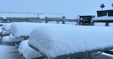
“[As for snow], it’s probable that totals in the vicinity of 50 cm could accumulate at higher elevations by this time next week, and perhaps a little more.”