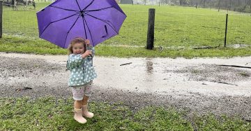
The capital region and Snowy Mountains can expect heavy rain today and Saturday. Photo: Dominic Giannini.
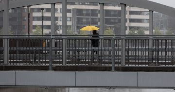
Batten down the hatches and bring out the umbrellas for another drenching in the ACT this weekend.
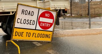
While rainfall totals are dependent on where thunderstorms fall, there are estimates that between 50 and 70 mm could fall in the ACT region from late on Friday and all of Saturday, with the potential for flash flooding and dangerous conditions on the roads.
Meteorologist at the Bureau of Meteorology Helen Kirkup said there is a good chance of 30 to 40 mm of rain between late Friday and Saturday in the ACT, although there will be higher totals in the Snowy Mountains.
“The scenario is that we’ve got a whole lot of moisture feeding into NSW from the north from ex-Tropical Cyclone Lucas. We then have this trough of low pressure moving across NSW and the ACT with colder pools of air that will create quite a lot of instability,” Ms Kirkup told Region Media.
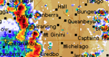
“What we’re expecting is a broad area of showers and thunderstorms on Friday. The ACT is on the edge of that, but on Saturday, the ACT is much more in the middle of it.
“Rainfall totals in the ACT really depend on where the thunderstorms fall, but we definitely expect to see a fair bit of activity to the west and south-west of Canberra.”
It’s expected to clear quickly by Sunday. Thunderstorm and heavy rainfall warnings will be issued on the Bureau of Meteorology website if necessary.
Canberra had its wettest day of the year on 2 February when about 30 mm fell, eclipsing the 22.8 mm that fell just days before on 29 January. The average rainfall for February is 57 mm, which the ACT is expected to smash this week.
A spokesperson for Transport Canberra and City Services said they didn’t expect to close any sports grounds in the ACT.
Weatherzone meteorologist Ben Domensino said the entire continent is being influenced by a unique series of four distinct low-pressure systems, with lows sitting to the north, south, east and west of the country.
“This is an unusual synoptic pattern and it’s likely to bring brollies out across Australia in the coming days,” Mr Domensino said.
“The low in the east is the remnants of Tropical Cyclone Lucas, which became a cyclone over the Coral Sea last Sunday (31 January).”
The east coast low-pressure system is not expected to cross the coastline but will contribute to rain in NSW and Queensland on the weekend.
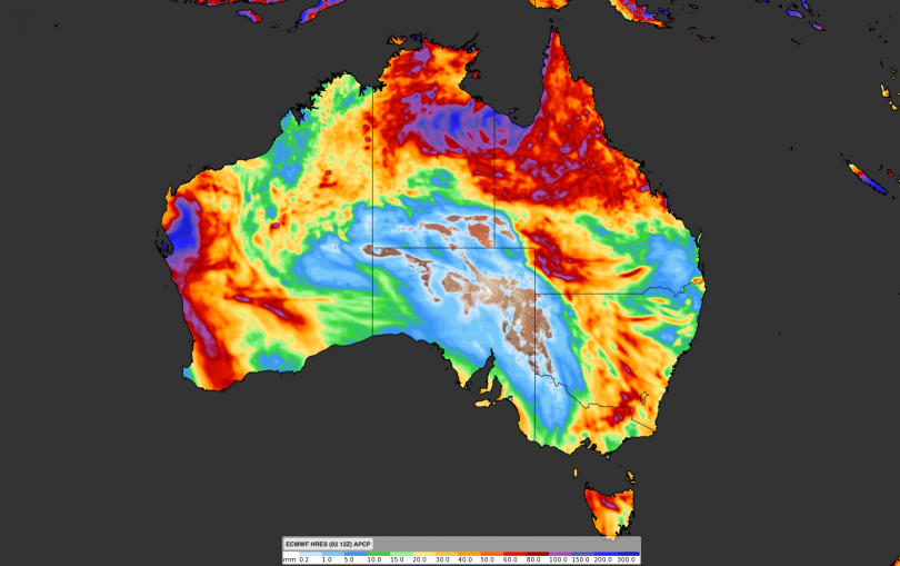
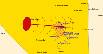
The forecast accumulated rain across Australia until 9 February. Image: Weatherzone.
The low in the south that will affect the ACT region is a mid-latitude low-pressure system, which will produce a mass of cold air from the Southern Ocean. Mr Domensino said between 50 and 70 mm of rain could fall in the ACT.
“This low formed over the Great Australian Bight on Thursday (4 February), before causing a cold front and low-pressure trough to barrel across south-eastern Australia between Thursday and Sunday.
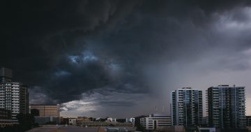
“This complex low, front and trough will interact with a stream of tropical moisture to cause widespread rain, blustery winds and potentially severe thunderstorms in parts of SA, Tasmania, Victoria, the ACT, NSW and Queensland.”
He said the combined influence of the four low-pressure systems is likely to cause rain in parts of every state and territory during the weekend and early next week.