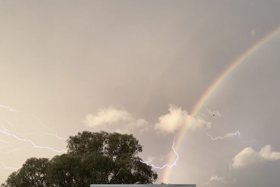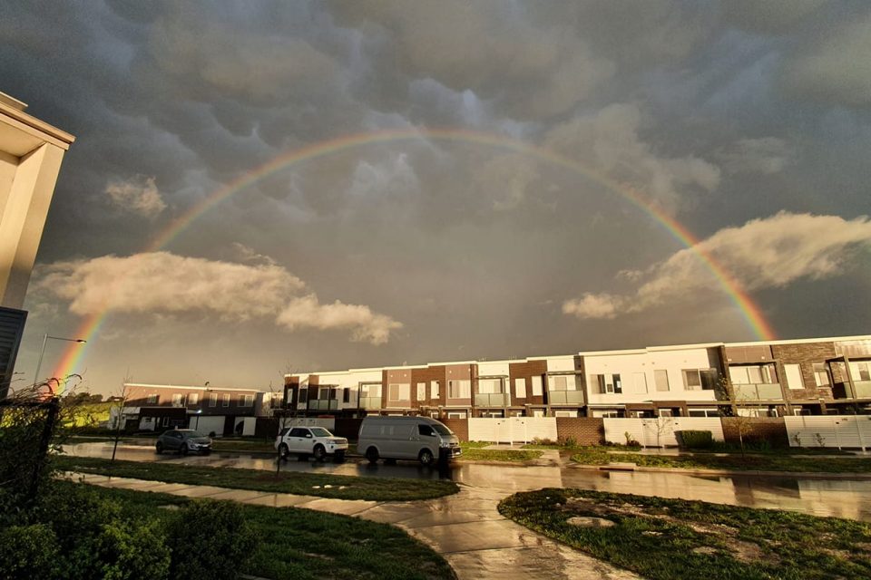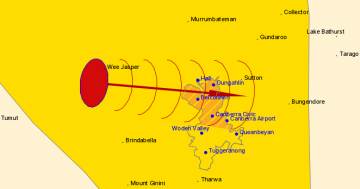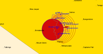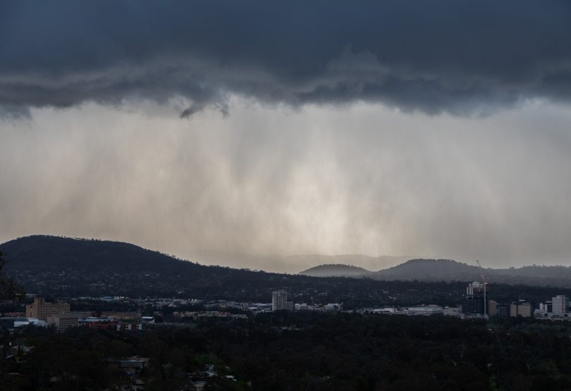
The storm approaches over Canberra. Photo: Michelle Kroll.
UPDATE – 6:00 pm: The storm has passed through the region, with no hail reported, however, our gallery of images at the bottom of this story includes some great rainbows.
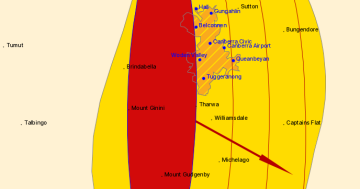
A severe weather warning for thunderstorms and large hail has been issued for today (21 September) by the Bureau of Meteorology for inland and coastal regions as a strong cold front moves through NSW and the ACT.
The locations at risk of severe thunderstorms include Canberra, Bourke, Dubbo, Parkes, Wagga Wagga, Albury and Griffith.
The storms could include locally destructive winds gusting to 120 km/h, large hailstones and heavy rainfall. The BOM has warned that winds could be strong enough to bring down trees or powerlines.
For those in our community who are concerned about this evening's storm, please know that ESA is on standby to help you weather it safely.
Image credit: Samantha Bink, Jerrabomberra resident#storm #rainbow #canberra pic.twitter.com/7j3YmydHf5— ACT ESA (@ACT_ESA) September 21, 2020
Bureau meteorologist David Wilke said the thunderstorms are being fed by unseasonally warm temperatures from a mass of hot air in northern Australia. Temperatures in the region are about 8 to 10 degrees above average for this time of year.
“We have a fairly strong cold front which is moving through NSW and the ACT and is influencing conditions across the region quite drastically,” Mr Wilke said.
“Ahead of that, we’ve had some warm temperatures reaching into the low 30s in the north-west of NSW and 30 degrees on some parts of the coast.
“We also have a fairly active thunderstorm day, so the key risk is in the central west and the southern tablelands later in the day [Monday].”
Thunderstorms are likely to continue on Tuesday and could impact parts of north-eastern NSW.
People are being urged to monitor the storm activity in their area via the Bureau of Meteorology radars.

