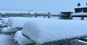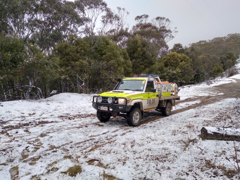
Despite the recent snow in the Brindabellas, ACT Rural Fire Service crews are still undertaking bushfire preparations. Photo: Facebook / ACT ESA.
South-eastern parts of NSW and the ACT are set for another burst of wintry weather with plenty of fresh winds and blizzard conditions into the weekend.
Bureau of Meteorology meteorologist Jonathan How has described a strong cold front “racing” across the country from Western Australia, crossing into South Australia this morning (19 July). It’s expected to reach our neck of the woods by this evening.
“With this system, we could see small hail across southern districts … we could see isolated [rainfall] in excess of 50 mm across the alpine areas and, of course, much of this may fall as snow,” he said.
“For the alpine resorts, that will mean healthy snowfalls, but for other low-lying areas, we could see snow flurries, including for the NSW Central Tablelands.”
A severe weather warning for damaging winds has been issued for parts of the Snowy Mountains, South West Slopes, Southern Tablelands, Illawarra, South Coast and ACT forecast districts, with the situation expected to deteriorate from this evening.
For alpine regions above 1900 metres, the BoM has predicted damaging winds averaging 80 to 90 km/h, with peak gusts around 125 km/h, along with blizzard conditions from Friday evening. These are expected to ease late Saturday evening (20 July).
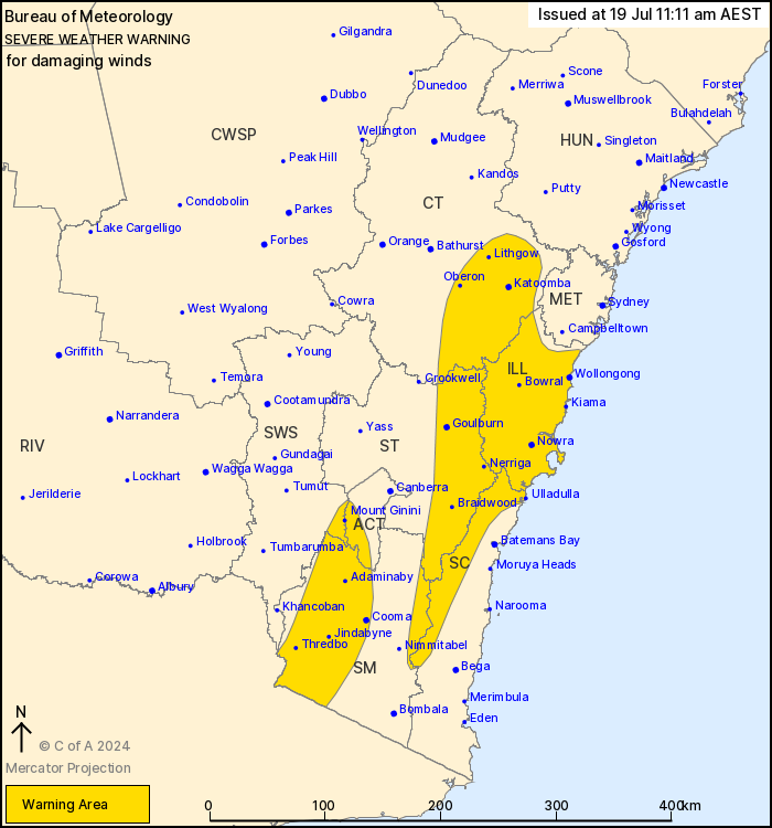
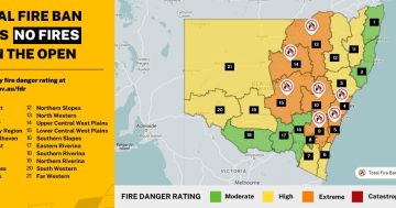
A severe weather warning for damaging winds has been issued for large parts of southeast NSW and the ACT. Photo: BoM.
For alpine areas above 1500 metres, the winds will be a little less intense, averaging 60 to 70 km/h with peak gusts of around 100 km/h.
For parts of the South Coast, Illawarra and Southern Tablelands, damaging winds averaging 60 to 70 km/h, with peak gusts up to 100 km/h, are likely to develop in elevated areas from late this evening.
This is expected to extend to lower elevations, including the Illawarra coastline, during Saturday (20 July) morning. These conditions are expected to ease during Sunday (21 July) morning.
Locations which may be affected include Wollongong, Nowra, Ulladulla, Bowral, Goulburn, Cooma and Thredbo Top Station.
The NSW National Parks and Wildlife Service has recommended backcountry travel be postponed until conditions improve.
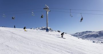
The snow level is expected to fall to around 900 metres on Friday night and into Saturday morning, meaning the ski fields will be turning up the snow guns to make the most of the conditions.
According to On the Snow, snowpack levels across Australia are sitting at a third of what they usually would be for this time of year.
Showers are expected to increase across the ACT and NSW by Saturday morning.
For those in the severe weather warning regions, the SES has advised people should:
- Move vehicles under cover or away from trees
- Secure or put away loose items around your house, yard and balcony
- Keep at least 8 metres away from fallen power lines or objects that may be energised, such as fences
- Trees that have been damaged by fire are likely to be more unstable and more likely to fall
- Report fallen power lines to either Ausgrid (131 388), Endeavour Energy (131 003), Essential Energy (132 080) or Evoenergy (131 093) as shown on your power bill
- Stay vigilant and monitor conditions. Note that the landscape may have changed following bushfires.
For emergency help in floods and storms, ring your local SES Unit on 132 500.