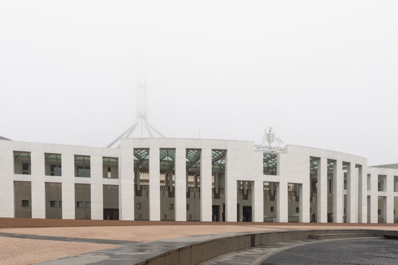
Heavy fog blankets Parliament House yesterday morning (3 August). Photo: Michelle Kroll.
An icy blast of cold air will bring snow and freezing conditions to the ACT and surrounding region, followed by a large band of rain this week.
Just as many were labelling this year’s winter as mild, a deep low-pressure will pass through on Tuesday and Wednesday, followed by a drenching band of rain on Friday and into the weekend.
Some forecasts have the cold blast covering the entire state of Tasmania in snow, with the arctic conditions bringing strong southerly winds and snow to low levels in Hobart.
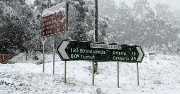
More than 20 cm of snow is forecast in some areas of Tasmania. Snowfalls are also forecast to reach southern NSW on Tuesday and Wednesday.
Satellite imagery shows very cold air swirling around a low that's expected to reach Tassie tonight. Snow is expected to settle on the ground at elevations above 100 metres tonight & tomorrow, however locations at sea-level may also see a light snow flurry(not settling) #Snowbart pic.twitter.com/Xe7JtSzATl
— Bureau of Meteorology, Tasmania (@BOM_Tas) August 3, 2020
Bureau of Meteorology (BOM) meteorologist Diana Eadie said the cold weather during the next few days will also be accompanied by blustery winds, rain and possible hail.
“A cold blast will extend over the south-east this week with strong winds and snow to low levels. A complex low-pressure system will move to the south, then east of Tasmania, extending a cold front and then numerous troughs over south-east Australia.
“Icy southerly winds will follow with temperatures plummeting to 2-8 degrees below average,” Ms Eadie said.
“Maximum temperatures in the single digits are forecast for numerous locations in Tasmania, Victoria, southern NSW and the ACT, with the wind chill making it feel even colder.
“For Victoria, southern NSW and the ACT, it will be Tuesday and Wednesday with snow down to 400 metres. This includes areas that don’t see snow as often such as The Grampians, Mt Macedon, the Dandenongs and the hills around Canberra.”
The forecast is that the low-pressure system will intensify as it moves further east, bringing strong and possibly damaging winds to the east coast of Tasmania on Tuesday, eastern Victoria and south-eastern NSW on Wednesday.
“These strong winds will ease after Wednesday, but cold days will persist all week,” Ms Eadie said.
Blizzard conditions will make driving conditions very dangerous and pose a threat for grazing stock. Conditions will also make it cold enough for ice to form on roads, with bushwalker alerts, road weather alerts and sheep graziers warnings issued in some areas.
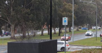
In the ACT, minimum temperatures are forecast to plummet to -3 and -4 degrees Celsius on Wednesday (5 August) and Thursday. Daytime temperatures will struggle to reach double figures.
A strong wind warning has also been issued for the coastal areas between the Illawarra and Eden for today (4 August), with southerly winds of between 40 and 50 km/h.
The NSW South Coast has recently been hit two swells that have brought very large waves and heavy erosion of parts of the coastline. However, this next southerly blast is only forecast to bring a relatively small swell of 1 to 1.5 metres.
Weather forecasters are also keeping a close eye on a band of rain that is currently building in Western Australia. The rain band will intensify as a broad low-pressure system moves east across South Australia and Victoria, and will move slowly across New South Wales from Thursday, bringing rain or showers and possible thunderstorms to most districts.
Canberra is forecast to receive up to 30 mm of rain on Friday, with the maximum temperature again struggling to get above 10 degrees Celsius.
On Saturday, there is a 100 per cent chance of rain and forecasts of another 10 to 25 mm of rain falling. Showers will persist on Sunday before gradually clearing.