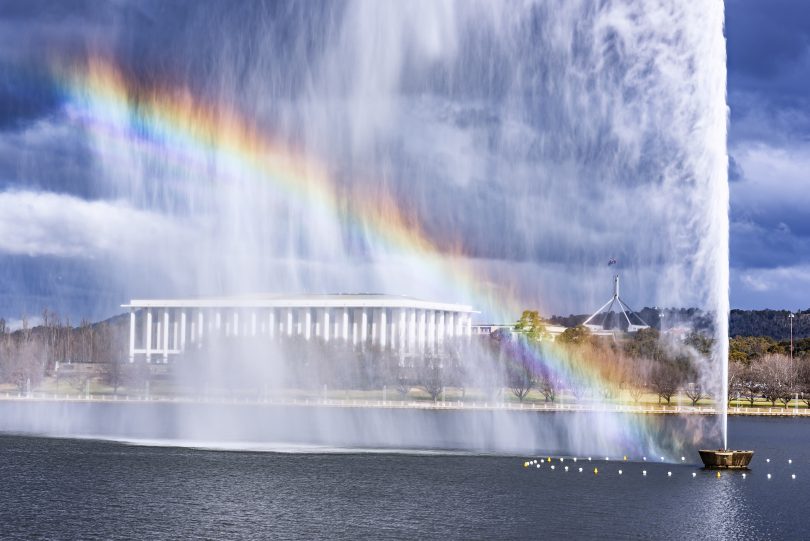
A rainbow forms at the Captain Cook Memorial Jet in Canberra. Photo: File.
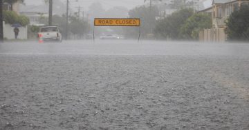
Above-average rainfall in the first months of 2020 has boosted water supplies but much of the South East NSW region remains in drought, according to the Bureau of Meteorology (BOM).
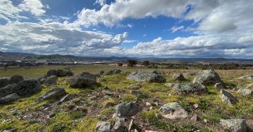
The rainfall means many areas of NSW and the ACT are experiencing a so-called ‘green drought’, where paddocks look healthy from a distance but the ‘green’ is often from weeds with no nutritional value.
Water storage also remains low and the BOM’s climate outlook for May to July only forecasts slight increases in the NSW and ACT catchments.
“A wetter start to 2020 has eased the severity of short-term rainfall deficiencies over much of eastern Australia and has provided a better start to the winter cropping season in many regions,” BOM senior climatologist Felicity Gamble said.
“However, the rainfall deficiencies were severe over an extended period so recovery will be a slow process.”
Ms Gamble said while the coming winter months are likely to be wetter than average for most of the southern two-thirds of Australia, large areas of south-east Australia still have rainfall deficiencies.
“Many months of rain of above-average will be required to replenish storages,” Ms Gamble said.
A warmer than average eastern Indian Ocean is increasing the likelihood of cloud bands from the north-west of Australia interacting with rain-bearing fronts and troughs as they sweep across the country during late autumn and into early winter.
“With this ocean pattern, May to July rainfall is likely to be above average for much of the country, although there is no wet or dry signal for the eastern seaboard,” Ms Gamble said.
“With warmer ocean temperatures around Australia, May to July temperatures are also likely to remain warmer than average, particularly for northern and eastern parts of the country.”
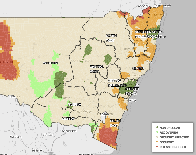
The areas of NSW still in a drought as of 6 May. Photo: NSW Department of Primary Industries.
Water storage levels increased slightly in most of the major storages in the Murray-Darling Basin, taking the total storage to 35 per cent, an increase of 3 per cent since last month and 1.5 per cent since the same time last year.
While the level of Canberra and Queanbeyan’s dams is now above 50 per cent for the first time this year (they were at 52.63 per cent on 8 May), the historic rainfall deficiency in many parts of the NSW, Queensland and South Australian catchment areas has only marginally increased.
The climate outlook says the winter months of June to August are likely to be 65 to 80 per cent wetter than average for most of Australia, with higher chances of rain across south-east and central Australia.
The Indian Ocean Dipole (IOD), one of the key drivers of climate that measures the difference between sea surface temperatures of the tropical western and eastern Indian Ocean, is currently neutral.
The outlook suggests a negative IOD could develop from mid-winter. All other international models surveyed by the Bureau also indicate a negative IOD is likely to form during 2020.
Negative IOD events typically increase the likelihood of above-average winter-spring rainfall across southern Australia.
In the shorter-term, high-pressure systems are expected to dominate much of Australia in early May, providing an expected drier week from 11 to 17 May.
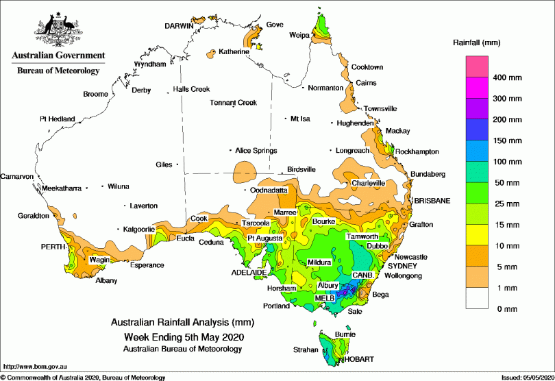
Rainfall total for the seven days ending on the week of 5 May. Photo: BOM.
The BOM’s climate outlook says the impact on water resources is still evident, especially in northern parts of the Murray-Darling Basin where water storage levels are still classed as low despite recent inflows. Significant deficiencies also remain across many parts of the country, including the major tributaries of the Darling, including the Macquarie, the Namoi-Peel and the Border Rivers.
However, water in the Lower Darling River reached the Murray River for the first time since 2017.
“The rainfall deficiencies were severe over an extended period so recovery will be a slow process,” the report said. “These longer-term deficiencies also extended to parts of the NSW coast, particularly in the Hunter and Illawarra to south-eastern districts.
“The dry conditions of the last three years were particularly acute during the cool season, which is important in many regions for generating runoff.”
The report averaged rainfall totals over the Murray-Darling Basin and New South Wales for the 36 months from May 2017 to April 2020, and found it had been the second-driest period on record. Only the period of the Federation Drought, from May 1900 to April 1903, was drier.