Nimmitabel shivered with temperatures barely scraping 3 degrees, but the snow made up for it. Photo: Royal Arms Guesthouse Nimmitabel, Facebook.
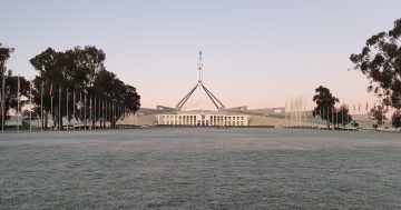
Canberra and its surrounds have spent the morning shivering as a strong cold front has delivered wet, windy and even snowy conditions to the area.
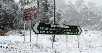
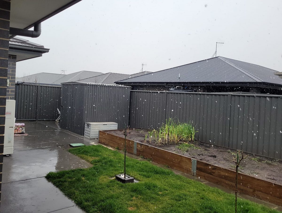
Snow has fallen to 900 metres above sea level in some parts with low temperatures meaning the powder could settle and give a decidedly white ending to winter.
BOM meteorologist Helen Kirkup said it appeared this would be the last time we’d see snow this low this year, but “never say never”.
“This doesn’t mean we won’t get snow in spring, that does happen, but it does look like this is the last super cold blast before spring,” she said.
“We’re likely to get some more moisture moving through on Monday, but it looks as though it will be more from the north rather than a cold ball of air from the south.”
Googong saw flurries of snow throughout the morning. Photo: Paige Wells, Facebook.
While the cloud covering the region could deliver the snow, the cold air from behind was needed to keep temperatures down and lining the two up could be tricky.
Canberra started the day with a reading of about 10 degrees at 4 am, but it had been on a downward trend since.
“It’s one of those weird days where the maximum temperature happened before anyone got out of bed,” Dr Kirkup said.
“Some areas are feeling even colder as they’re exposed to the wind.
“It’s probably not going to get any warmer today.”
Areas surrounding Canberra such as Googong (which sits at 996 metres above sea level) saw flurries of snow throughout the morning. However, it was too warm for anything to settle.
Further south, Nimmitabel locals had more luck, with enough snow falling to blanket cars and trees.
Royal Arms Guesthouse co-owner Grant Walker said this was the heaviest fall he had seen all year.
“We usually do get quite a few falls in August and while this was just 3 to 4 cm, because it’s so cold it’s stayed around for quite a while,” he said.
“Every second year or so we’ll get 4 to 6 inches, but this year we’ve had a very light snow season, but it’s been very wet.”
Mr Walker said he’d seen a long-term forecast predicting snow for today (23 August), but at the time he didn’t think much of it.
“I didn’t take too much trust with it, but it was right on the money,” he said.
“I think it actually quite a few people off guard.”
Despite snow being common for the area, Mr Walker said the magic never wore off.
“It just gives a totally different landscape, it changes the size, the shape and the aspect of things,” he said.
“The sound also decreases. You can’t hear the road as well, and if you’re in the bush it’s incredibly quiet. So there’s a real eeriness about it but it’s also quite pleasant.”
Dr Kirkup said the cloud band delivering the rain and snow was expected to move away from the area late this afternoon and into this evening.
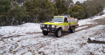
Local SES units had reminded motorists to take care on the roads and drive to the conditions.