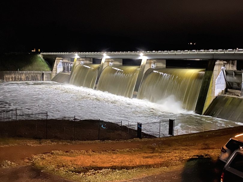
The overflow from Scrivener Dam into the Molonglo River on the weekend. Photo: Region Media.
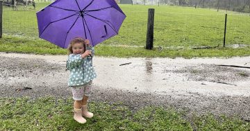
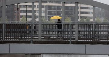
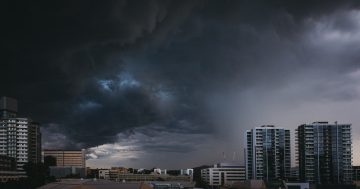
As the flooded fields slowly dry and swollen rivers around the Canberra region begin to recede, eyes are on yet another low-pressure system that will bring more rain this week and into the weekend.
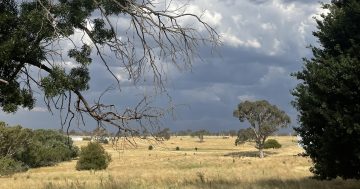
The low-pressure system that is more than half the size of Western Australia is making its way east and is expected to bring more rain to the region from Wednesday onwards before it slips to the south on Thursday. Totals below 10 mm of rain are forecast ahead of heavier falls this Saturday.
Point Hut crossing this morning.
Posted by Karen Hore on Sunday, August 9, 2020
Video footage from Karen Hore shows the fast-flowing Murrumbidgee River on Monday morning (10 August).
Bureau of Meteorology (BOM) meteorologist Alex Majchrowski told Region Media the rain is not expected to cause further flooding but will add to an already saturated landscape.
“From Wednesday, we should see mostly shower activity through Thursday and Friday. We’re forecasting up to 5 mm of rain on each of those days, with some larger falls in the western ACT area,” Mr Majchrowski said.
“However, on Saturday things will start to pick up again and we’re expecting at least 10 to 15 mm and the rainfall will be quite widespread before it eases off again on Sunday.
“We will definitely be keeping a close eye on things and may issue further flood watch warnings on Thursday,” he said.

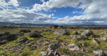
A water-logged Lake George on Sunday (9 August). Photo: Nathan Holt.
Many are welcoming the outpouring of winter rain, which has seen all areas of the region record more rainfall last weekend than in the months of July and August last year.
“The rain over the weekend really showed how dry it was last year,” Mr Majchrowski said.
“On Saturday, Canberra Airport recorded 40 mm of rain, while in July last year there was only 5 mm and in August last year there was 17.8 mm of rain.”
He said a contributing factor was the breakdown of a positive Indian Ocean Dipole, which results in above-average winter-spring rainfall over parts of southern Australia. This means there is more moisture associated with weather systems crossing the country.
Over the weekend, torrential rain fell right across the region, with record totals on the NSW South Coast.
On Monday (10 August), flooding was still affecting many roads in the Queanbeyan-Palerang shire, including Hoskinstown Rd at Reschs Creek crossing, Briars Sharrow Rd, Charleys Forest Rd, Bombay Rd, Mayfield Rd, Neringla Rd, Bombay crossing and Oaks Estate crossing in the ACT.
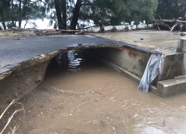
Neringla Rd south of Araluen illustrates why drivers should never cross a flooded crossing. Photo: QPRC.
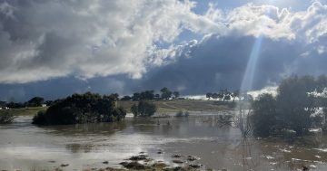
River heights across the region also remain high, with the Murrumbidgee River peaking at 5.92 metres at Lobbs Hole. The Molonglo River also broke its banks at Oaks Estate where it peaked at 6.12 metres on Sunday afternoon.
Rainfall totals for the Canberra region saw 60.2 mm fall at the Canberra Airport, 81.8 mm at Sutton, 84 mm at Ginninderra, 51 mm at Tuggeranong and 83.4 mm at Googong Dam.
The fast-flowing rivers also took the life of a kayaker who died when his kayak became caught under a bridge on the Murrumbidgee River near Point Hut on Sunday afternoon. Following a widespread search, the man was found unresponsive about four hours later.